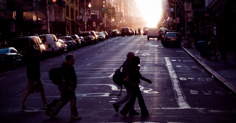
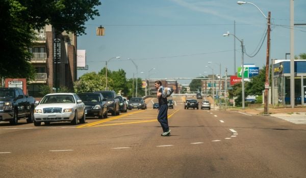
In the U.S., there were 6,721 people killed while walking in 2020.
Cities use data on pedestrian deaths and car crashes to help guide policy response, but these numbers are incomplete because they don’t include “close call“ incidents.
Close calls include situations where a person is nearly hit, as you’d expect, but they also include physical or verbal altercations — road rage. Also referred to as near miss incidents, these experiences can be a shock to the mundane routine of going about our everyday lives and a realization of the fragility of our physical body.
Regardless of how central close call experiences are to our everyday lives, they are very difficult to measure, even though they are often reoccurring experiences. This means that either one person may experience these events repeatedly, or that these experiences may be concentrated at specific intersections/places. In both cases, capturing these incidents may reveal patterns of safety issues and provide opportunities to address them before a crash happens.
A 2015 study of close call incidents finds that experiencing a close call contributes to heightened fear of injury and is a major barrier to getting more people to bike.
Attempts to capture close call incidents may include self-reported experiences, an app-based crowdsourcing tool, or artificial intelligence algorithms and video analytics using high-definition traffic cameras. More cities are paying attention to the role of capturing close call incidents in proactively addressing safety issues and having a mechanism in place to report close calls. Innovative solutions to proactively capture close call incidents such as the award-winning initiative in Bellevue, WA, has significantly increased the time and ability to identify dangerous locations and strategies to improve safety.
However, not all cities have access to a network of street cameras and technology to capture and analyze close call incidents. In many places, close calls are only recorded if they are witnessed by a police officer, and so most of these cities don’t use close call data to shape policy. In my research in Houston’s Gulfton neighborhood—one of the densest and most diverse in a sprawling city—we explored the multiple facets of safety issues including capturing close call experiences. Highlighting the need for more than traffic analysis and official crash data, the study sought to understand residents’ perceptions of safety and close calls. On paper, Gulfton is walkable: the neighborhood is laid out in a dense grid, and there are sidewalks. And many first-generation immigrants and refugees coming to the city in the neighborhood rely on walking, biking, and using public transit to get around. But we wanted to find out what barriers kept more people from using active transportation.
We worked with community leaders to develop and refine questions about safety issues, including whether they have experienced or witnessed close call incidents and crashes. We translated the questions into three languages (Arabic, Urdu, and Spanish), and we did a neighborhood walk assessment with residents. By capturing residents’ experiences of close calls, we identified significant safety issues in locations such as large apartment complexes and schools — some of the most dangerous places in the neighborhood.
Additionally, the trauma of losing some of its youngest members of the community to traffic violence become a significant barrier for walking to schools. Many parents may find this resident’s comment strikingly familiar, “Cars turn the corner too fast or run the stop sign and [drivers] don’t stop for buses or children crossing.” For many others, even close call experiences can deter them from walking and biking in the future. Understanding these experiences and recognizing that racism and racial bias in addressing safety issues and planning of active transportation infrastructure are critical as more cities invest in walking and biking infrastructure to achieve the full vision of the new infrastructure bill.
Our communities should not live in fear that a bike ride in the neighborhood can turn fatal. Data on near-misses can and should be used to identify dangerous intersections, but people’s perceptions of safety are also valid data that must be included when developing policy. In Gulfton, the assemblage of community leaders, school officials, residents, maps, data, and public-private coalitions led to further support for establishing the city’s Vision Zero policy and infrastructure projects to address safety concerns.
An understanding of safety should not be limited to vehicle traffic. A multi-faceted approach to addressing safety issues requires understanding the multiple facets of safety experiences and recognizing that those experiences are as valid as reported crash data can lead to future investments that honor the authentic needs of communities. Therefore, any efforts to address safety for all users must also deliberately address the alienating experiences of Black, Brown, Indigenous People, people of color, as well as trans people in public spaces. We must aim for our streets to be inclusive allowing for different bodies and capturing their experiences in moving across these spaces as an affirmation of their belonging in civic society.
Dian Nostikasari is Assistant Professor of Environmental Science and Sustainability at Drake University.

